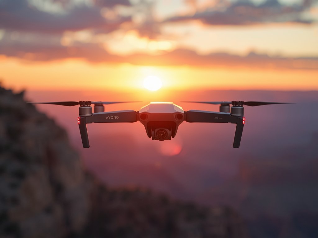
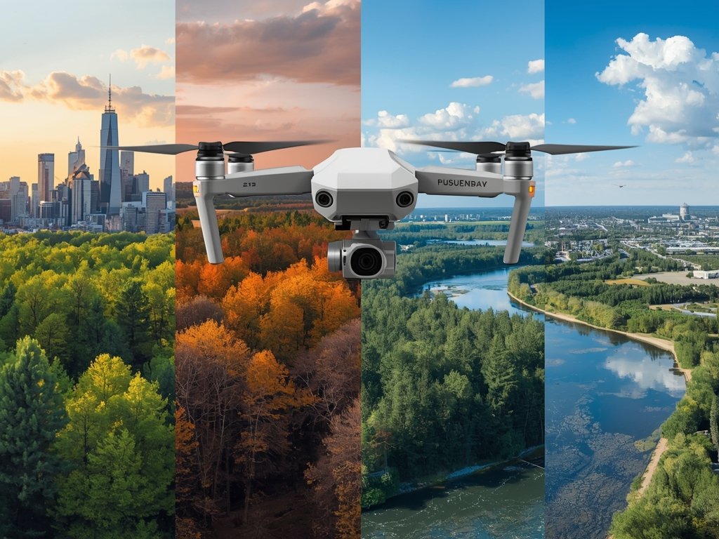
The Sky’s the Limit: Choosing the Perfect Drone for Mapping and Surveying
As a land surveyor or mapping professional in the United States, you’re likely familiar with the challenges of capturing accurate, high-resolution data across vast and varied landscapes. From the rugged mountains of Colorado to the sprawling farms of the Midwest, the right tools can make all the difference. Enter drones – the game-changing technology that’s revolutionizing the way we map and survey land.
With the ability to cover large areas quickly and efficiently, drones are becoming an indispensable tool for professionals across industries. But with so many options available, how do you choose the best drone for mapping and land surveying? In this comprehensive guide, we’ll explore the key factors to consider and recommend top drones tailored to the unique needs of US-based surveyors.
Navigating the Drone Landscape: Key Considerations
Before diving into specific drone recommendations, it’s essential to understand the critical factors that set mapping and surveying drones apart from their recreational counterparts. Here are some key considerations to keep in mind:
Camera and Sensor Quality
The heart of any mapping drone is its camera and sensor system. Look for drones equipped with high-resolution cameras (at least 20MP) and advanced sensors, such as LiDAR or multispectral sensors, to capture precise, detailed data.
Flight Time and Range
Mapping large areas requires a drone with ample flight time and range. Aim for drones with at least 30 minutes of flight time and a range of 5-7 kilometers to ensure efficient coverage of your survey area.
Stability and Precision
Accurate mapping relies on stable, precise flight. Choose drones with advanced stabilization features, such as GPS and GLONASS, to maintain consistent altitude and position, even in challenging conditions.
Top Drones for Mapping and Surveying: Our Expert Picks
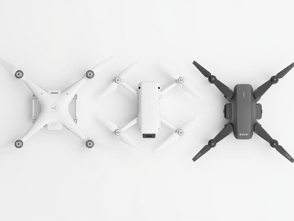
Now that we’ve covered the essentials, let’s explore some of the best drones for mapping and land surveying in the US market. We’ve handpicked three top contenders based on their performance, features, and value:
DJI Phantom 4 RTK: The Industry Standard
The DJI Phantom 4 RTK is a popular choice among professionals, thanks to its advanced camera system, RTK (Real-Time Kinematic) positioning, and seamless integration with DJI’s powerful software suite. With a 1-inch 20MP sensor and mechanical shutter, this drone delivers stunning image quality and precise data capture.
SenseFly eBee X: The Mapping Specialist
Designed specifically for mapping and surveying, the SenseFly eBee X boasts an impressive flight time of up to 90 minutes and a range of 15 kilometers. Its high-resolution camera and advanced sensors make it an ideal choice for large-scale projects, from farmland to construction sites.
WingtraOne: The Vertical Takeoff and Landing (VTOL) Wonder
The WingtraOne combines the best of both worlds – the efficiency of a fixed-wing drone and the versatility of a VTOL design. With a flight time of up to 55 minutes and a range of 8 kilometers, this drone is perfect for mapping complex terrain, such as mountainous regions or urban areas.
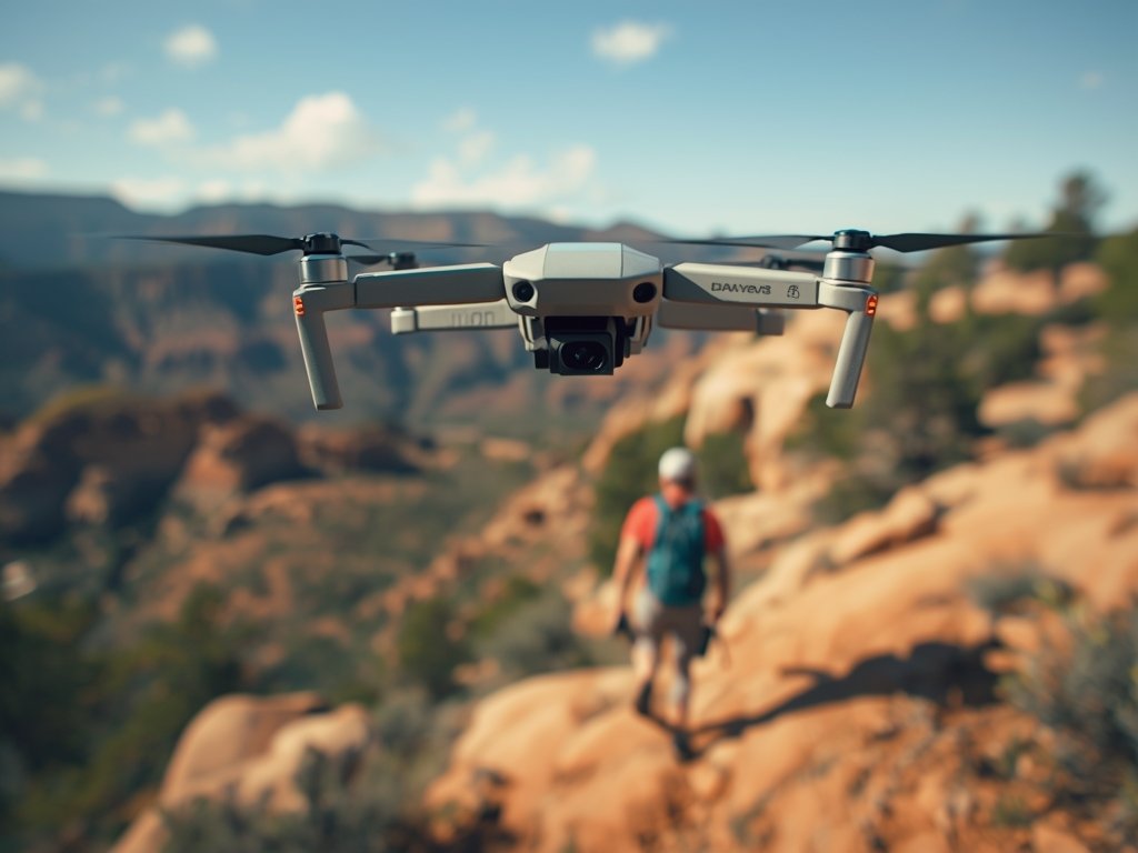
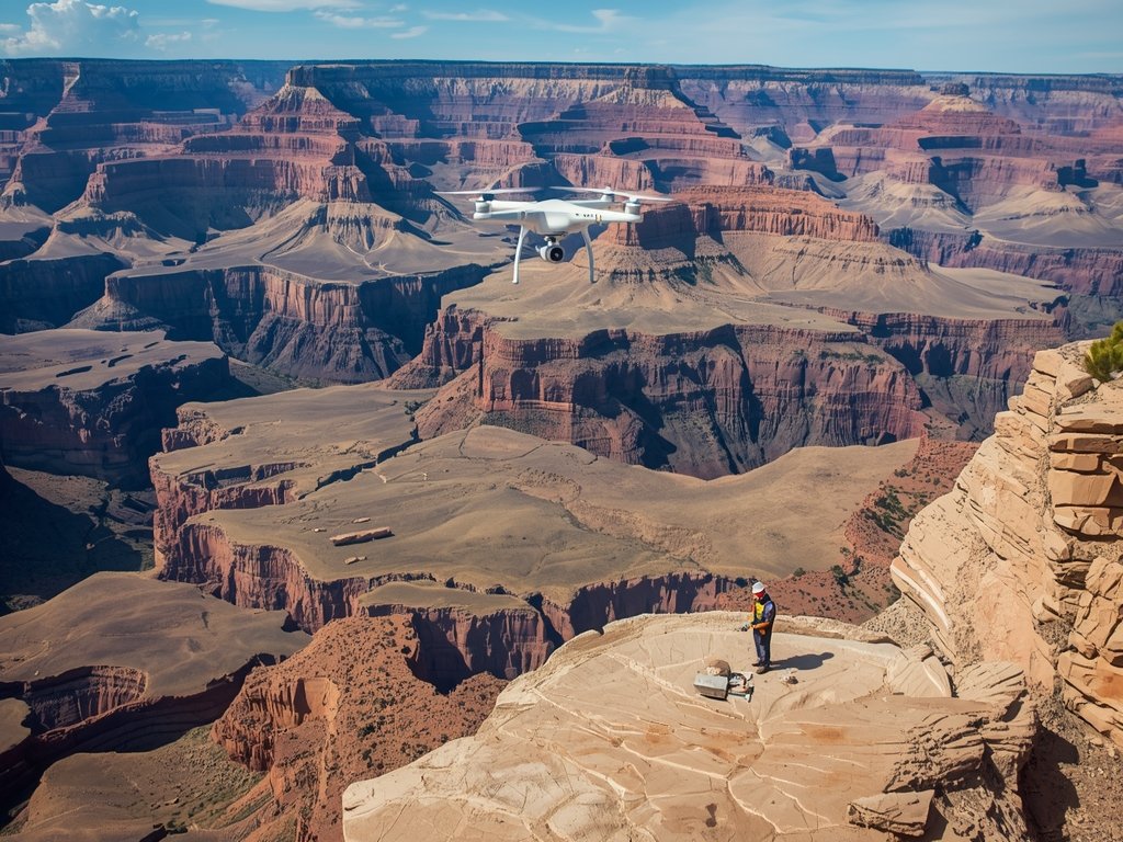
Real-World Applications: Drones in Action
To truly appreciate the value of drones in mapping and surveying, let’s explore some real-world applications across various industries in the United States:
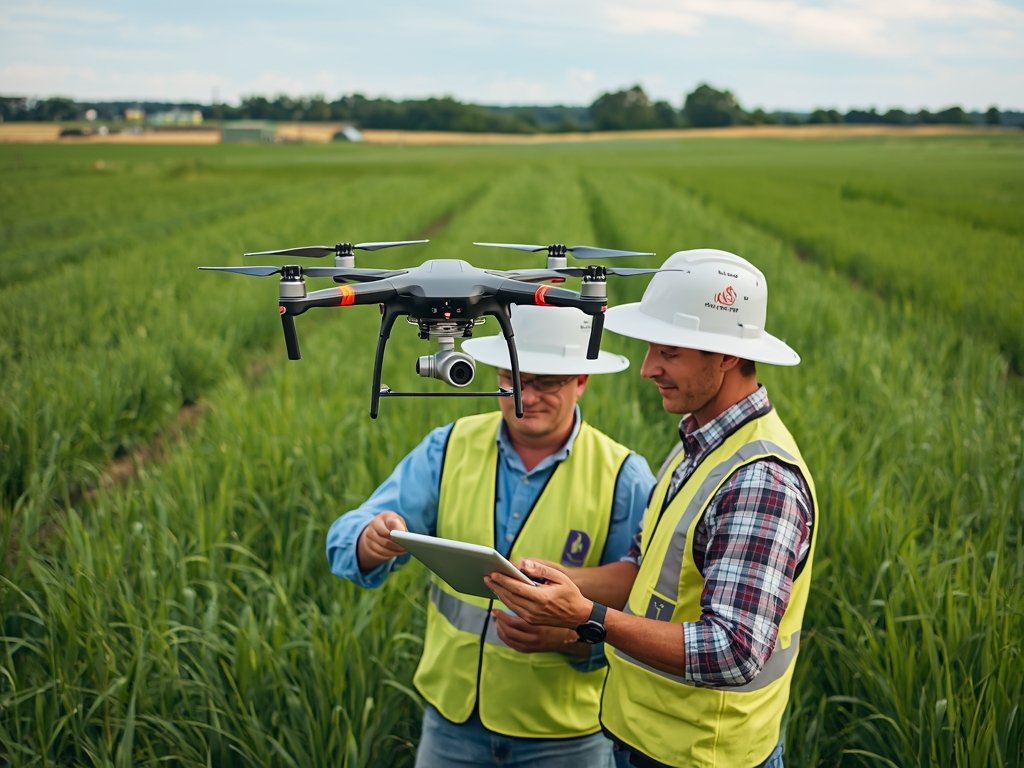
Agriculture: Precision Farming Takes Flight
In the heartland of America, drones are transforming the way farmers manage their crops. By capturing high-resolution imagery and multispectral data, drones enable precision agriculture techniques, such as variable rate application and crop health monitoring, leading to increased yields and reduced costs.
Construction: Building the Future from Above
From the skyscrapers of New York City to the sprawling infrastructure projects in Texas, drones are playing a crucial role in construction planning, progress monitoring, and site inspections. With their ability to capture detailed 3D models and orthomosaics, drones help project managers make informed decisions and keep projects on track.
Environmental Monitoring: Protecting Our Natural Treasures
The United States is home to some of the world’s most iconic natural wonders, from Yellowstone National Park to the Florida Everglades. Drones are being used to monitor and protect these precious ecosystems, providing valuable data on wildlife populations, habitat health, and environmental threats.
Maximizing Your Drone Investment: Tips and Best Practices
To get the most out of your drone investment, it’s essential to follow best practices and stay up-to-date with the latest regulations and technologies. Here are some tips to help you maximize your drone’s potential:
Stay Compliant with FAA Regulations
As a drone operator in the United States, it’s crucial to comply with Federal Aviation Administration (FAA) regulations, including Part 107 certification and airspace restrictions. Stay informed and follow best practices to ensure safe and legal operations.
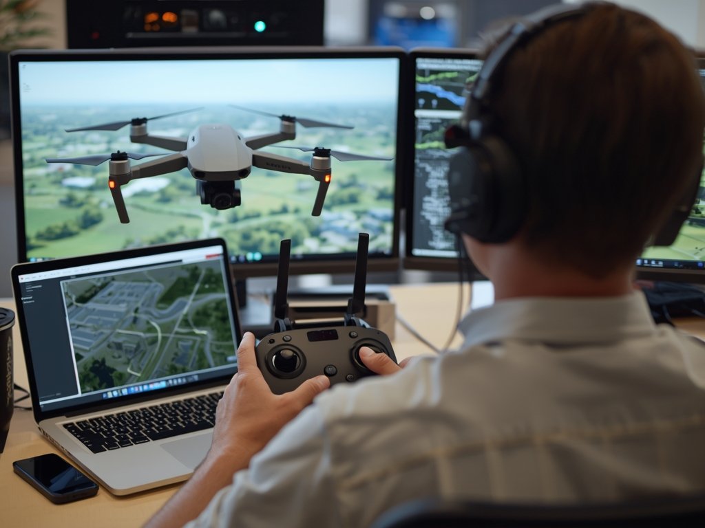
Invest in Quality Software and Training
Pair your drone with powerful software tools, such as Pix4D or DroneDeploy, to process and analyze your data effectively. Additionally, invest in comprehensive training to develop your piloting skills and stay current with industry best practices.
Maintain and Calibrate Your Equipment
Regular maintenance and calibration are essential to ensure accurate, reliable data capture. Follow the manufacturer’s guidelines for cleaning, updating, and calibrating your drone and sensors to maintain optimal performance.
FAQ
What is the best drone for large-scale mapping projects?
For large-scale mapping projects, we recommend the SenseFly eBee X, which offers an impressive flight time of up to 90 minutes and a range of 15 kilometers, making it ideal for covering vast areas efficiently.
Do I need a Part 107 certification to operate a mapping drone?
Yes, if you’re operating a drone for commercial purposes, including mapping and land surveying, you must obtain a Part 107 certification from the FAA, which requires passing a knowledge test and meeting other eligibility criteria.
Can drones capture data in challenging weather conditions?
While drones can operate in various weather conditions, it’s essential to prioritize safety and data quality. Avoid flying in heavy rain, strong winds, or extreme temperatures, as these conditions can affect your drone’s performance and data accuracy.
How do I process and analyze drone-captured data?
There are several software tools available for processing and analyzing drone-captured data, including Pix4D, DroneDeploy, and Agisoft Metashape. These tools enable you to create orthomosaics, 3D models, and other deliverables from your drone’s imagery and sensor data.
What is the typical cost of a professional mapping drone?
The cost of a professional mapping drone can range from $5,000 to $20,000 or more, depending on the drone’s features, sensors, and software integration. Be sure to factor in additional costs, such as training, maintenance, and software subscriptions, when budgeting for your drone investment.
Join Our Pilot Community
Connect with fellow drone enthusiasts, share your aerial shots, and get access to free PDF ebook guides.