The Sky’s the Limit: Revolutionizing Industries with Commercial Drone Mapping
The United States is witnessing a transformative era in data collection and analysis, thanks to the advent of commercial drone mapping solutions. From the sprawling farmlands of the Midwest to the dense urban centers of the East Coast, drones are reshaping how industries approach surveying, planning, and decision-making.
Mapping the Future: What is Commercial Drone Mapping?
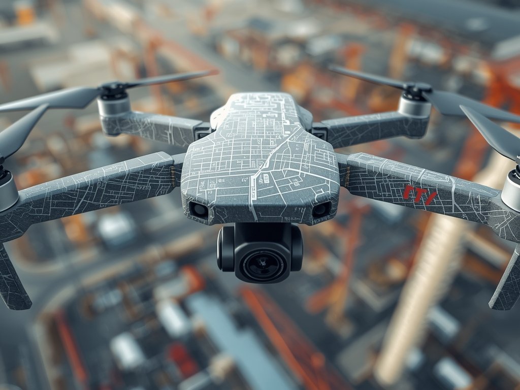
Commercial drone mapping involves using unmanned aerial vehicles (UAVs) to capture high-resolution images and data from elevated perspectives. These images are then stitched together to create detailed maps, 3D models, and actionable insights.
This technology is not just about taking pictures from the sky; it’s about providing precise, data-driven solutions that save time, reduce costs, and enhance accuracy across various sectors.
Industries Taking Flight with Drone Mapping
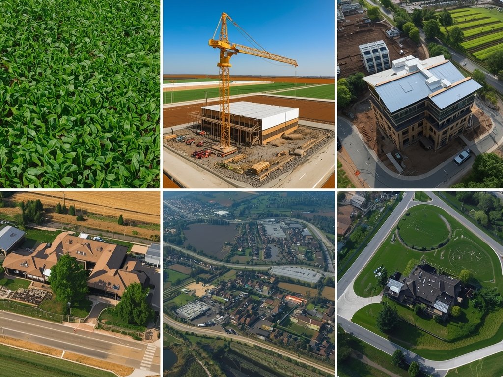
Agriculture: Sowing the Seeds of Efficiency
American farmers are leveraging drone mapping to monitor crop health, optimize irrigation, and predict yields. By identifying areas of stress or disease early, farmers can take targeted action, ensuring healthier crops and higher productivity.
Construction: Building a Stronger Foundation
In the construction industry, drones are revolutionizing site surveys, progress monitoring, and safety inspections. Detailed aerial maps provide a comprehensive view of projects, helping managers make informed decisions and keep operations on track.
Real Estate: Elevating Property Marketing
Real estate agents are using drone mapping to create stunning aerial views of properties, offering potential buyers unique perspectives. This not only enhances marketing efforts but also provides valuable data for property assessments and development planning.
Navigating the Legal Landscape: Regulations and Compliance
Operating commercial drones in the U.S. requires adherence to Federal Aviation Administration (FAA) regulations. Pilots must obtain a Part 107 certification, ensuring they understand airspace restrictions, safety protocols, and privacy considerations.
Compliance is not just a legal requirement but a commitment to safety and professionalism. By following these guidelines, businesses can operate drones responsibly, minimizing risks and maximizing benefits.
Choosing the Right Drone Mapping Solution for Your Business

Selecting the right drone mapping solution depends on your industry, specific needs, and budget. Consider factors such as drone capabilities, software compatibility, and data processing options.
Look for solutions that offer seamless integration with your existing workflows, provide robust data security, and have a track record of reliability. Partnering with experienced providers can ensure you get the most out of your investment.
Case Studies: Real-World Success Stories

Disaster Response: Mapping the Path to Recovery
In the aftermath of Hurricane Harvey, drone mapping played a crucial role in assessing damage and planning recovery efforts. High-resolution images helped emergency responders identify affected areas, allocate resources, and coordinate relief operations.
Environmental Conservation: Protecting America’s Natural Treasures
The National Park Service has utilized drone mapping to monitor wildlife, track erosion, and manage visitor impact. This technology has been instrumental in preserving the natural beauty of parks like Yellowstone and the Grand Canyon.
FAQ
What industries benefit most from commercial drone mapping?
Industries such as agriculture, construction, real estate, and environmental monitoring see significant benefits from drone mapping due to its ability to provide detailed, actionable data.
How accurate is drone mapping compared to traditional methods?
Drone mapping offers superior accuracy, often within a few centimeters, thanks to advanced sensors and software. This precision surpasses many traditional surveying methods.
What are the key considerations when choosing a drone mapping solution?
Consider factors like drone capabilities, software integration, data security, and compliance with FAA regulations. Partnering with experienced providers can also ensure a successful implementation.
How does drone mapping contribute to cost savings?
By reducing the need for manual labor, minimizing errors, and providing timely data, drone mapping can significantly lower operational costs across various applications.
Join Our Pilot Community
Connect with fellow drone enthusiasts, share your aerial shots, and get access to free PDF ebook guides.