The Sky’s New Canvas: Unveiling the Magic of 3D Gaussian Splatting

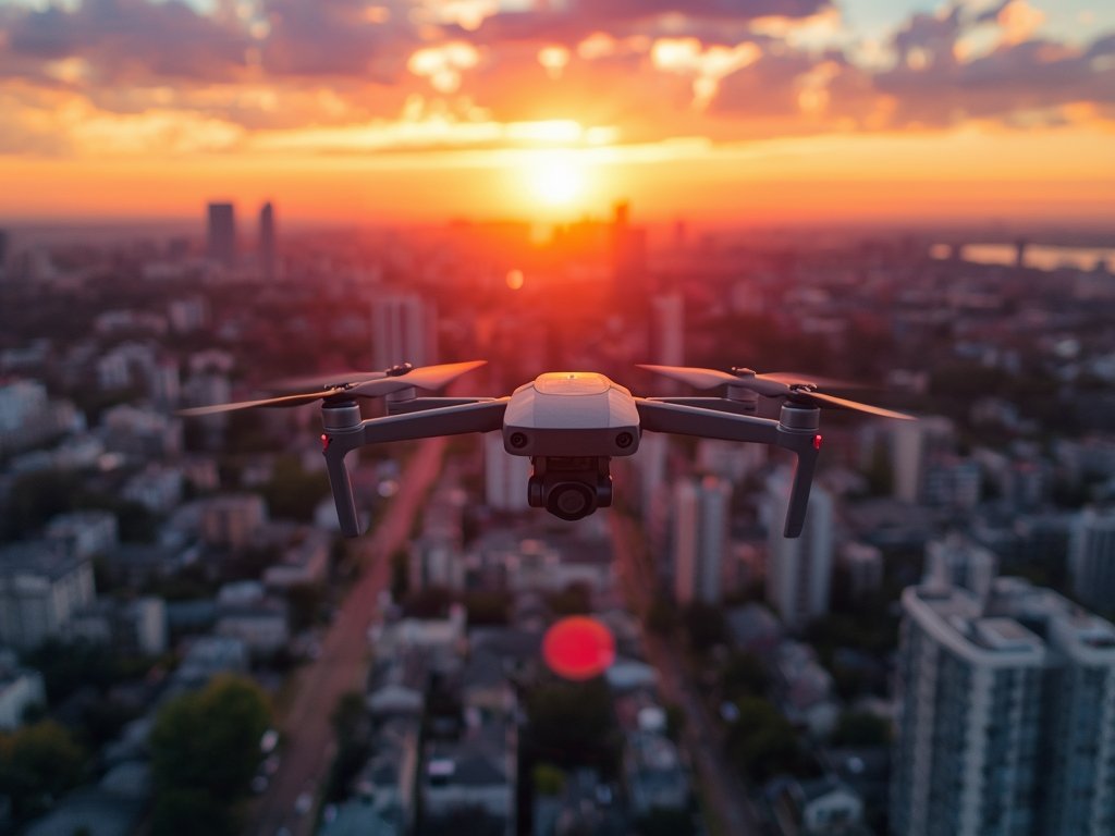
Imagine capturing the rugged beauty of the Grand Canyon, not just in a flat image, but in a rich, textured 3D map that feels almost tangible. This is no longer the stuff of science fiction. A groundbreaking technique called 3D Gaussian splatting is transforming the way we visualize and interact with drone-captured landscapes, and it’s making waves across industries in the United States.
Gone are the days of static, pixelated drone maps. 3D Gaussian splatting injects a dose of artistry into aerial data, creating immersive experiences that rival the real thing. Think of it as painting with light and data, where each drone-captured point becomes a brushstroke in a breathtaking digital canvas.
From Pixels to Points: How It Works
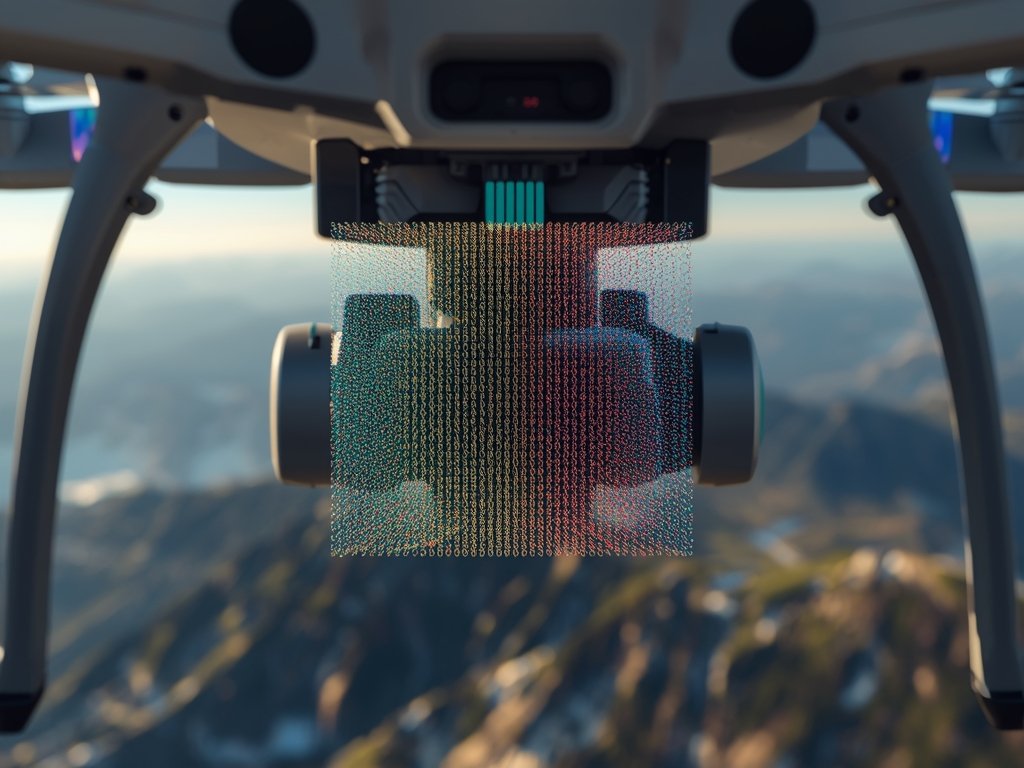
At its core, 3D Gaussian splatting is a sophisticated mathematical dance. Instead of treating drone-captured data as a grid of pixels, it represents the scene as a cloud of points, each with its own unique color, intensity, and spatial position.
These points aren’t just dots; they’re like tiny, glowing spheres, their size and shape determined by a mathematical function called a Gaussian. This function creates a smooth, bell-like curve, allowing the points to blend seamlessly with their surroundings, mimicking the natural transitions found in the real world.
The result? Incredibly detailed 3D maps that capture the nuances of texture, lighting, and depth with astonishing accuracy. Imagine seeing the individual leaves on a tree, the ripples on a lake, or the intricate patterns of a cityscape, all rendered with a level of realism that was previously unimaginable.
Revolutionizing Industries: Beyond Pretty Pictures
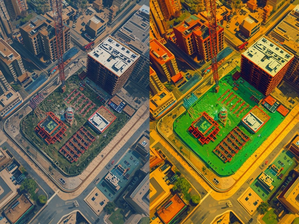
Construction: Building the Future, Pixel by Pixel
In the bustling construction sites of cities like New York and Los Angeles, 3D Gaussian splatting is becoming an invaluable tool. Architects and engineers can now visualize building projects with unprecedented detail, identifying potential issues and optimizing designs before a single brick is laid.
Imagine walking through a virtual model of a skyscraper, inspecting every beam and column, and even simulating lighting conditions and wind patterns. This level of detail allows for more efficient planning, reduced costs, and ultimately, safer and more sustainable construction.
Agriculture: Harvesting Data for a Bountiful Future
From the vast cornfields of the Midwest to the orchards of California, farmers are embracing 3D Gaussian splatting as a powerful tool for precision agriculture. Drones equipped with this technology can create detailed maps of crops, identifying areas of stress, nutrient deficiencies, and pest infestations with pinpoint accuracy.
This data-driven approach allows farmers to target interventions precisely, optimizing fertilizer and pesticide use, and ultimately increasing yields while minimizing environmental impact. It’s a win-win for both farmers and the planet.
Disaster Response: Seeing Through the Chaos
When disaster strikes, every second counts. 3D Gaussian splatting is proving to be a game-changer in emergency response situations. Drones can quickly map affected areas, providing rescuers with detailed 3D models that reveal hidden dangers, identify survivors, and guide rescue efforts with unparalleled precision.
Challenges and the Road Ahead
While 3D Gaussian splatting holds immense promise, it’s not without its challenges. Processing the vast amounts of data generated by drones can be computationally intensive, requiring powerful hardware and specialized software.
Additionally, ensuring the accuracy and reliability of these 3D maps is crucial, especially in critical applications like disaster response and infrastructure inspection. Ongoing research and development are focused on addressing these challenges, making 3D Gaussian splatting more accessible and robust.
As the technology continues to evolve, we can expect to see even more innovative applications emerge. From virtual tourism and urban planning to environmental monitoring and archaeological exploration, the possibilities are truly limitless.
A New Dimension of Possibility

3D Gaussian splatting is more than just a technological advancement; it’s a paradigm shift in how we perceive and interact with our world. It’s a tool that empowers us to see beyond the limitations of two dimensions, to explore and understand our environment in ways that were previously unimaginable.
As this technology continues to mature and find its way into diverse industries across the United States, we can expect to see a revolution in how we build, farm, respond to emergencies, and simply experience the world around us. The sky’s the limit, and with 3D Gaussian splatting, we’re just beginning to scratch the surface of its vast potential.
FAQ
What is 3D Gaussian splatting?
3D Gaussian splatting is a technique that represents 3D scenes as a cloud of points, each with its own color, intensity, and spatial position. These points are shaped like tiny, glowing spheres, creating incredibly detailed and realistic 3D maps.
How is 3D Gaussian splatting different from traditional drone mapping?
Traditional drone mapping creates 2D images or basic 3D models. 3D Gaussian splatting goes beyond this, capturing the nuances of texture, lighting, and depth with astonishing accuracy, resulting in highly realistic and immersive 3D representations.
What are some real-world applications of 3D Gaussian splatting?
3D Gaussian splatting has applications in various fields, including construction, agriculture, disaster response, urban planning, environmental monitoring, and even virtual tourism.
What are the challenges of using 3D Gaussian splatting?
Processing the large amounts of data generated by drones can be computationally intensive, requiring powerful hardware and specialized software. Ensuring the accuracy and reliability of 3D maps is also crucial, especially in critical applications.
What does the future hold for 3D Gaussian splatting?
As the technology continues to evolve, we can expect to see even more innovative applications emerge, shaping the way we interact with and understand our world.
Join Our Pilot Community
Connect with fellow drone enthusiasts, share your aerial shots, and get access to free PDF ebook guides.