From Pixels to Precision: Unlocking the Power of Drone Photogrammetry

Imagine capturing the essence of a physical object, a sprawling landscape, or even an entire city, and transforming it into a digital replica so precise it’s like holding a mirror to reality. This is the magic of digital twins, and drone photogrammetry is the key that unlocks this transformative technology.
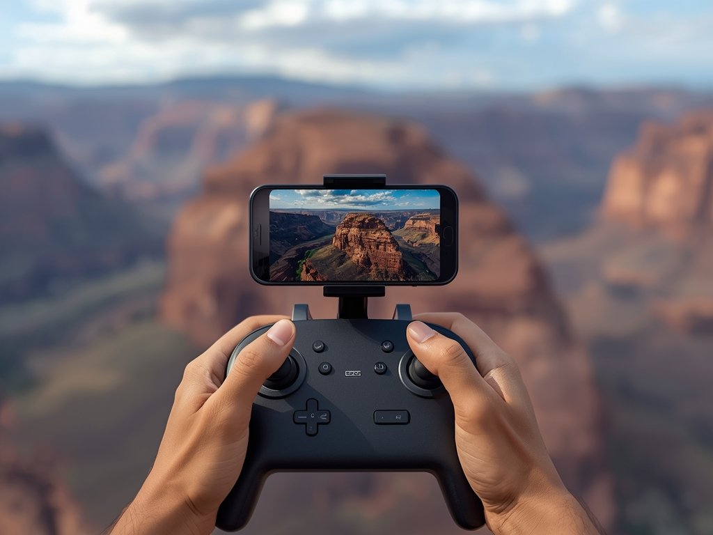
In the United States, industries from construction to conservation are embracing this powerful tool. Think of the Golden Gate Bridge, its iconic spans meticulously mapped for maintenance, or the Grand Canyon, its rugged beauty preserved in stunning 3D detail for future generations.
Drone photogrammetry isn’t just about pretty pictures; it’s about data, precision, and actionable insights. It’s about building a bridge between the physical and digital worlds, one pixel at a time.
Taking Flight: How Drone Photogrammetry Works

At its core, drone photogrammetry is a symphony of technology and technique. Drones, equipped with high-resolution cameras, capture a series of overlapping images from various angles and altitudes.
The Art of Overlap
Think of it like a mosaic, where each tile is a photograph. The key lies in the overlap – each image needs to share a significant portion with its neighbors. This overlap allows software to stitch these images together, creating a seamless tapestry of data.
From 2D to 3D: The Magic of Point Clouds
These stitched images are then processed using specialized software. Through a process called “structure from motion,” the software identifies common points across multiple images, calculating their 3D coordinates. This results in a “point cloud,” a vast collection of data points representing the surface of the object or area being scanned.
Meshing it All Together
Finally, the point cloud is transformed into a mesh, a digital representation of the surface composed of interconnected triangles. This mesh can then be textured using the original images, resulting in a photorealistic 3D model – your digital twin.
Beyond the Buzz: Real-World Applications of Drone Photogrammetry
The applications of drone photogrammetry are as vast as the American landscape itself. From coast to coast, industries are harnessing its power to revolutionize their workflows.
Construction: Building the Future, Pixel by Pixel
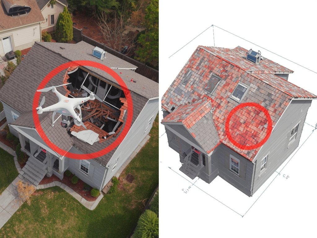
Imagine monitoring construction progress in real-time, identifying potential issues before they escalate, and creating detailed as-built models for future reference. Drone photogrammetry is transforming construction sites into data-rich environments, improving efficiency, safety, and accuracy.
Infrastructure Inspection: Keeping America Moving
From towering bridges to sprawling pipelines, drone photogrammetry is becoming the go-to tool for inspecting critical infrastructure. It allows for safe, efficient, and detailed inspections, identifying cracks, corrosion, and other potential hazards before they lead to costly failures.
Environmental Monitoring: Protecting Our Natural Treasures
Whether it’s tracking erosion along the Mississippi River or monitoring the health of coral reefs in Florida, drone photogrammetry is a powerful tool for environmental scientists. It provides high-resolution data on land use changes, habitat degradation, and the impact of climate change, enabling informed decision-making for conservation efforts.
Taking Off: Getting Started with Drone Photogrammetry

Ready to take flight with drone photogrammetry? Here’s a roadmap to get you started:
- Choose the Right Drone: Select a drone with a high-quality camera capable of capturing sharp images with sufficient overlap.
- Plan Your Flight: Define your area of interest, plan your flight path, and ensure you have the necessary permissions and safety precautions in place.
- Capture Quality Images: Pay attention to lighting conditions, camera settings, and flight altitude to ensure optimal image quality.
- Process Your Data: Utilize specialized photogrammetry software to stitch images, create point clouds, and generate 3D models.
Navigating the Skies: Legal and Ethical Considerations
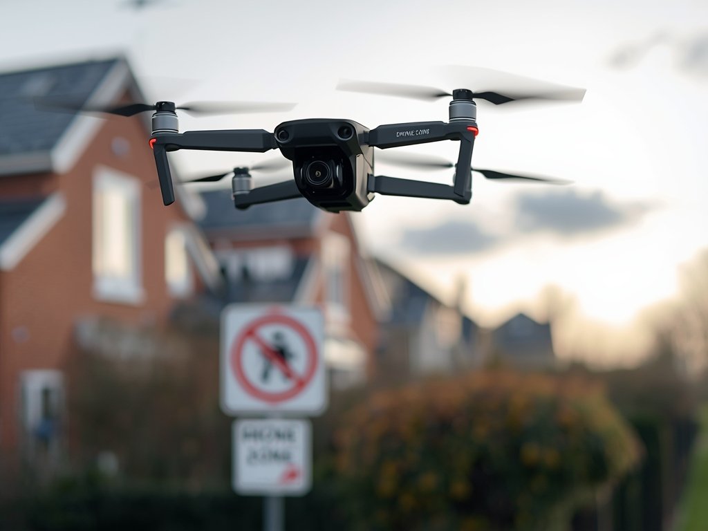
As with any powerful technology, responsible use is paramount. Before taking to the skies, familiarize yourself with local regulations governing drone flight. The Federal Aviation Administration (FAA) provides comprehensive guidelines for drone operation in the United States.
Respecting privacy is equally crucial. Avoid flying over private property without permission and be mindful of capturing images of individuals without their consent.
FAQ: Demystifying Drone Photogrammetry
What kind of drone do I need for photogrammetry?
While professional-grade drones with high-resolution cameras offer the best results, even consumer drones with decent cameras can be used for basic projects. The key is to ensure sufficient image overlap and quality.
How accurate are drone photogrammetry models?
Accuracy depends on factors like drone quality, camera resolution, flight altitude, and software used. Professional setups can achieve sub-centimeter accuracy, while consumer-grade setups may have slightly lower precision.
Is drone photogrammetry expensive?
Costs vary depending on equipment, software, and project complexity. While professional setups can be costly, entry-level options are becoming increasingly affordable, making this technology accessible to a wider range of users.
What are the limitations of drone photogrammetry?
Drone photogrammetry excels in capturing surface details but struggles with interiors or areas obscured from view. Additionally, weather conditions like strong winds or heavy rain can impact flight safety and image quality.
Where can I learn more about drone photogrammetry?
Numerous online resources, tutorials, and courses are available to help you delve deeper into this exciting field. The FAA website provides essential information on drone regulations, while online communities and forums offer valuable insights and support.
Join Our Pilot Community
Connect with fellow drone enthusiasts, share your aerial shots, and get access to free PDF ebook guides.