Taking to the Skies: Revolutionizing Mapping with Drone Technology
Drone technology has taken the world by storm, and its impact on various industries is undeniable. One of the most exciting applications of drones is in the field of mapping, where they are transforming the way we capture and analyze spatial data. With their ability to access hard-to-reach areas and capture high-resolution imagery, drones are becoming an indispensable tool for professionals across the United States.
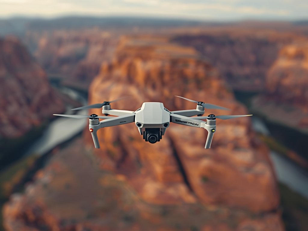
The Art of Drone Mapping: A Bird’s-Eye View
Drone mapping involves using unmanned aerial vehicles (UAVs) equipped with high-quality cameras to capture a series of images from different angles and altitudes. These images are then stitched together to create a comprehensive, high-resolution map of the area. This process, known as photogrammetry, allows for the creation of detailed 2D and 3D models, providing valuable insights for various applications.
Unleashing the Power of Aerial Imaging
The key to successful drone mapping lies in the quality of the imagery captured. Modern drones are equipped with advanced cameras capable of capturing high-resolution photos and videos, even in challenging lighting conditions. This level of detail is crucial for creating accurate maps and models, especially in industries like construction, agriculture, and environmental monitoring.
Mapping the American Landscape: Use Cases and Applications
The United States, with its diverse landscapes and industries, presents a myriad of opportunities for drone mapping. From the bustling cities of the East Coast to the vast agricultural lands of the Midwest and the breathtaking natural wonders of the West, drones are being utilized in innovative ways.
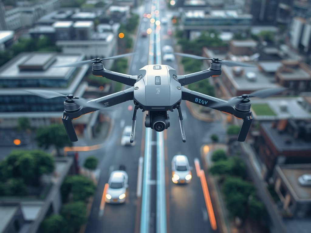
Urban Planning and Development
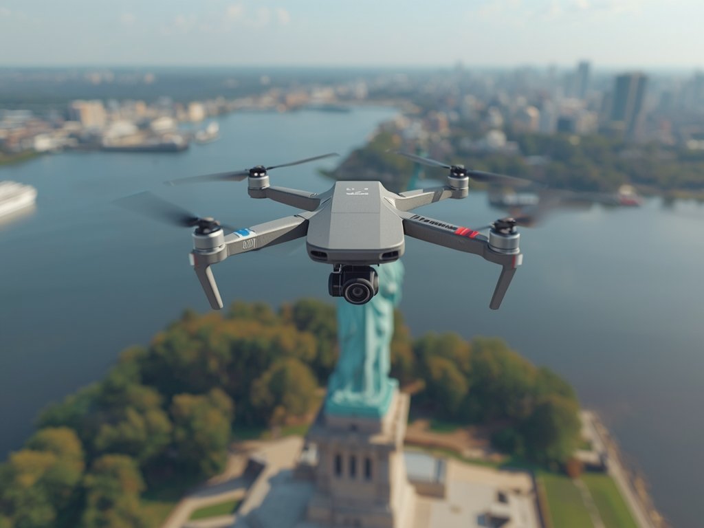
In cities like New York and Los Angeles, drones are being used to create detailed 3D models of urban areas, aiding in city planning, infrastructure development, and disaster management. These models provide a unique perspective, allowing planners to visualize and analyze the urban environment in ways that were previously impossible.
Agricultural Precision
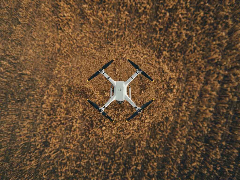
In the heartland of America, drones are revolutionizing agriculture. Farmers are using drone-generated maps to monitor crop health, optimize irrigation, and improve yield. By identifying areas of stress or disease, farmers can take targeted action, reducing costs and increasing productivity. This precision agriculture approach is a game-changer for the industry.
Environmental Conservation
The vast and diverse ecosystems of the US are also benefiting from drone technology. Conservationists are using drones to monitor wildlife, map habitats, and assess the impact of environmental changes. In places like Yellowstone National Park, drones provide a non-invasive way to study and protect the natural environment, offering a new perspective on conservation efforts.
Navigating the Skies: Flight Planning and Regulations
While the potential of drone mapping is vast, it is essential to navigate the skies safely and legally. The Federal Aviation Administration (FAA) has established regulations to ensure the safe integration of drones into the national airspace. These rules govern various aspects of drone operations, including flight planning, pilot certification, and equipment requirements.
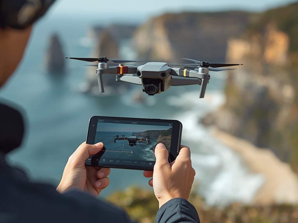
Flight Planning: A Crucial Step
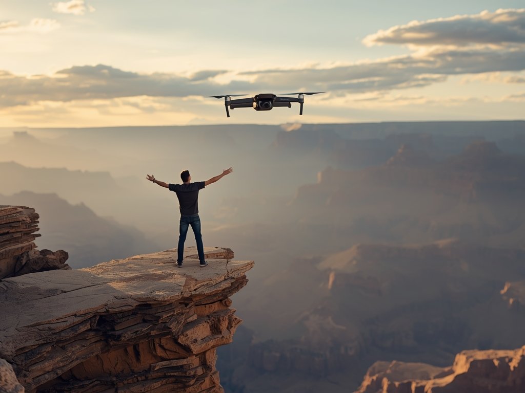
Flight planning is a critical aspect of drone operations, ensuring safe and efficient missions. Pilots must consider factors such as weather conditions, airspace restrictions, and battery life when planning a flight. Advanced software tools assist in this process, allowing pilots to visualize flight paths, set waypoints, and simulate missions before taking off.
Staying Compliant: FAA Regulations
To operate a drone for mapping purposes, pilots must adhere to FAA regulations. This includes obtaining a Remote Pilot Certificate, registering the drone, and following operational guidelines. The FAA’s Part 107 rules provide a framework for commercial drone operations, ensuring safety and accountability in the rapidly growing industry.
Data Processing and Analysis: Bringing Maps to Life

Once the drone has captured the necessary imagery, the real work begins. Data processing and analysis are crucial steps in transforming raw images into actionable maps and models. This process involves specialized software and skilled professionals who can interpret the data and extract valuable insights.
From Images to Maps: Photogrammetry Software
Photogrammetry software plays a vital role in stitching together the captured images to create orthomosaics (detailed, geometrically corrected maps) and 3D models. These tools use advanced algorithms to align and blend images, correct for lens distortion, and generate accurate representations of the mapped area.
Extracting Insights: Data Analysis
The processed data can then be analyzed to extract valuable information. In agriculture, this might involve identifying crop health issues or optimizing planting patterns. In construction, it could mean monitoring progress, detecting errors, or planning future phases. Data analysis is where the true value of drone mapping is realized, providing actionable intelligence for decision-making.
The Future of Drone Mapping: Innovations and Trends
As drone technology continues to evolve, the future of mapping looks incredibly promising. Innovations in hardware, software, and data analysis techniques are pushing the boundaries of what’s possible, opening up new applications and opportunities.
Advancements in Drone Technology
Drones are becoming more capable, with improved flight times, advanced sensors, and enhanced payload capacities. The integration of AI and machine learning is also enabling drones to make real-time decisions, avoid obstacles, and optimize flight paths, further increasing their efficiency and safety.
Real-Time Data and Beyond
The ability to process and analyze data in real-time is a game-changer. This allows for immediate insights and decision-making, particularly in time-sensitive applications like disaster response or infrastructure inspections. As 5G networks expand across the US, the potential for real-time data transmission and analysis will only grow, further enhancing the capabilities of drone mapping.
FAQ
What are the key benefits of using drones for mapping?
Drone mapping offers numerous advantages, including high-resolution imagery, access to hard-to-reach areas, and the ability to create detailed 2D and 3D models. It provides a cost-effective and efficient way to gather spatial data, benefiting industries such as agriculture, construction, and environmental monitoring.
How do I become a certified drone pilot for mapping purposes?
To become a certified drone pilot, you must obtain a Remote Pilot Certificate from the FAA. This involves passing a knowledge test, which covers various topics, including airspace regulations, flight operations, and weather patterns. Additionally, you’ll need to register your drone and follow FAA guidelines for commercial operations.
What software is used for drone data processing and analysis?
There are several software solutions available for processing and analyzing drone-captured data. Photogrammetry software, such as Pix4D and Agisoft Metashape, is commonly used to stitch images and create maps and models. Data analysis tools, like ArcGIS and QGIS, provide further insights and visualization capabilities.
Are there any privacy concerns with drone mapping?
Privacy is a critical consideration in drone operations. Pilots must respect individuals’ privacy and avoid capturing sensitive information without consent. The FAA and local regulations provide guidelines on maintaining privacy, and it’s essential to stay informed and compliant to ensure responsible drone usage.
How is drone mapping contributing to environmental conservation?
Drone technology is playing a significant role in environmental conservation efforts. Drones can access remote and fragile ecosystems without causing disturbance, providing valuable data for research and monitoring. They are used to map habitats, track wildlife, and assess the impact of environmental changes, aiding in conservation planning and decision-making.
Join Our Pilot Community
Connect with fellow drone enthusiasts, share your aerial shots, and get access to free PDF ebook guides.