Taking Flight: How Commercial Drone Data Analytics is Transforming American Industries
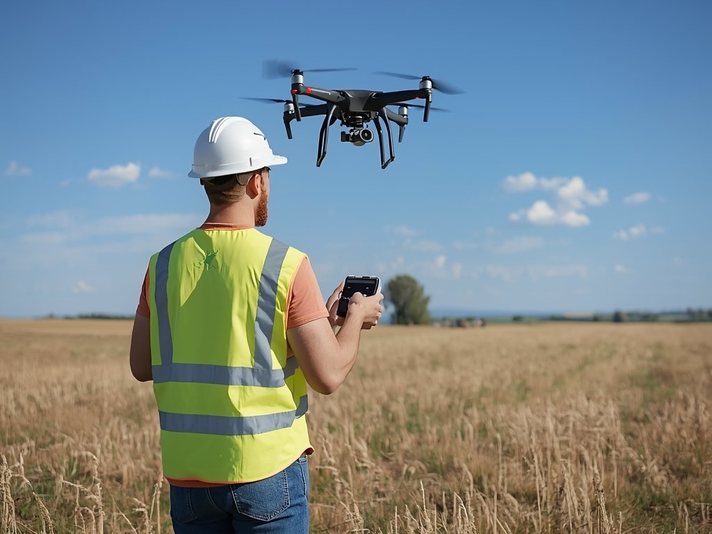
From sprawling farms in the Midwest to bustling construction sites in New York City, drones are no longer just a novelty. They’re powerful tools reshaping how businesses operate across the United States. But it’s not just about the drones themselves—it’s the data they collect and how we analyze it that’s truly revolutionary.
Commercial drone data analytics is unlocking insights that were once impossible or prohibitively expensive to obtain. Whether it’s monitoring crop health in California’s Central Valley or inspecting wind turbines in Texas, this technology is driving efficiency, safety, and innovation. Let’s dive into how this game-changing field is making waves across American industries.
The Sky’s the Limit: What is Commercial Drone Data Analytics?

At its core, commercial drone data analytics involves using drones to gather data from the air and then analyzing that data to extract actionable insights. These drones are equipped with cameras, sensors, and other tools that capture high-resolution images, videos, and other measurements.
Once collected, this data is processed to create detailed maps, 3D models, and reports. For businesses, this means making informed decisions faster—whether it’s identifying structural issues in a building, tracking inventory in a warehouse, or assessing damage after a natural disaster.
Industries Taking Off with Drone Data
Agriculture: Sowing the Seeds of Precision Farming
American farmers are turning to drones to optimize their operations. In states like Iowa and Kansas, drones equipped with multispectral cameras can detect crop stress before it’s visible to the naked eye. This allows farmers to address issues like irrigation problems or pest infestations early, saving time and resources.
For example, a vineyard in California might use drone data to pinpoint areas where grapes are not ripening evenly, enabling targeted interventions. The result? Higher yields and better-quality produce.
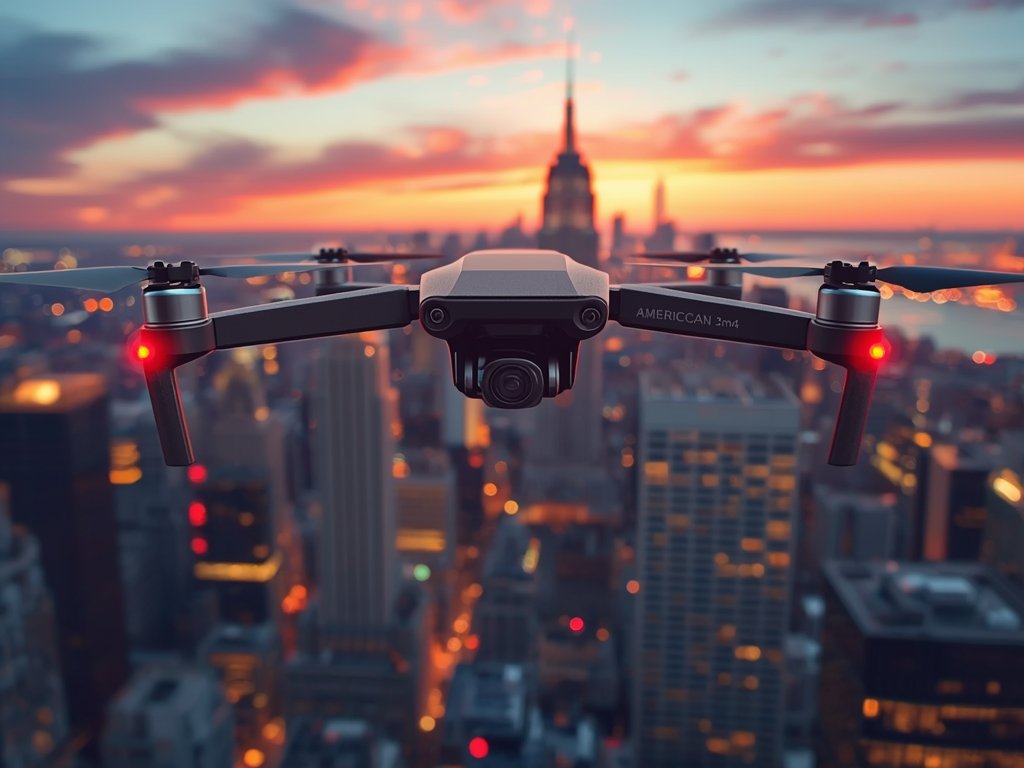
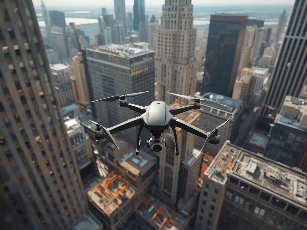
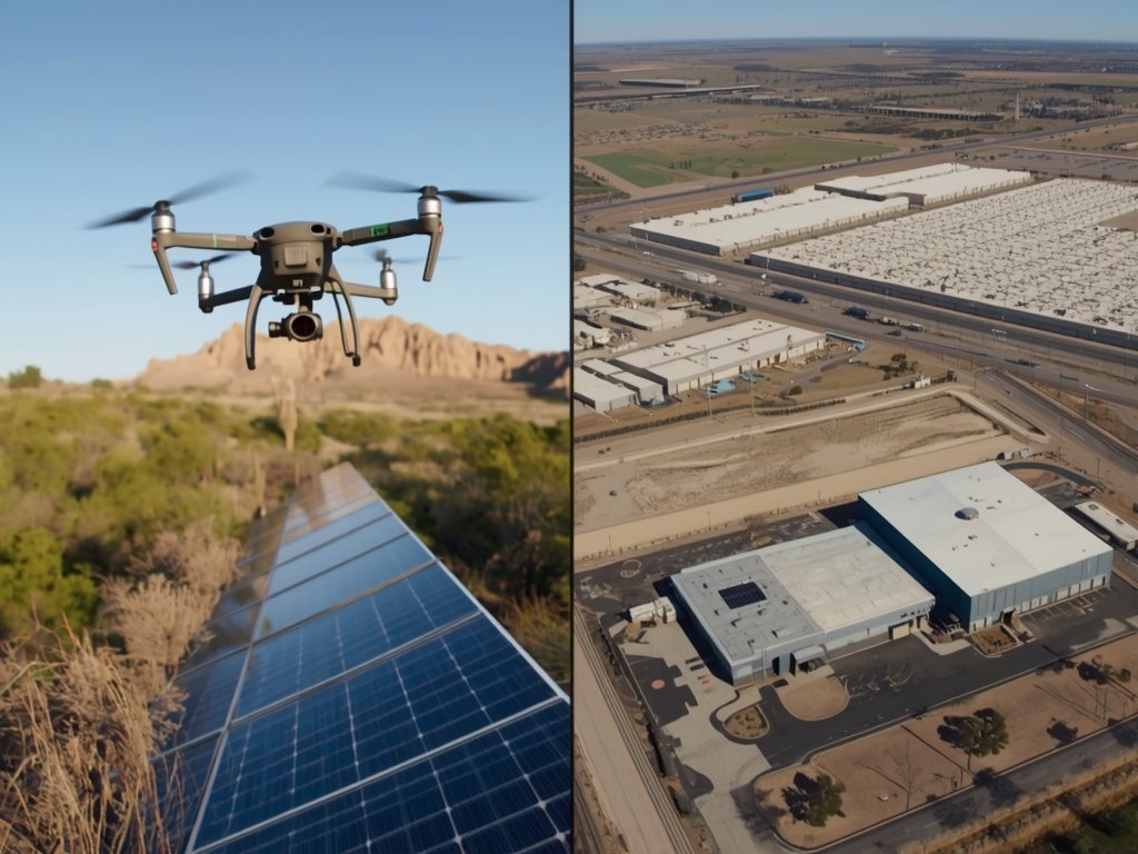
Construction: Building Smarter, Not Harder
Construction sites across the U.S. are leveraging drone data to streamline projects. In cities like Houston and Atlanta, drones are used to create detailed site maps, monitor progress, and ensure compliance with safety regulations. This not only reduces the need for manual inspections but also minimizes the risk of accidents.
Imagine a skyscraper project in Chicago. Drones can regularly scan the site, providing real-time updates to project managers. This level of visibility helps keep projects on track and within budget.
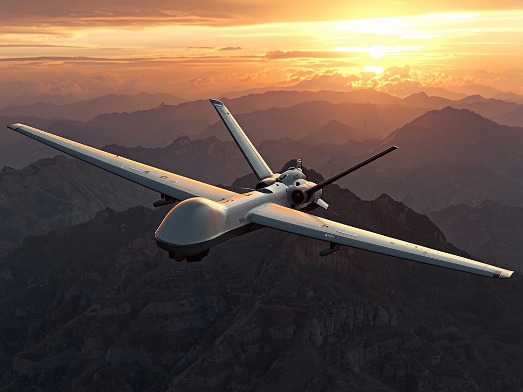
Energy: Powering Up Inspections
The energy sector is another major beneficiary of drone data analytics. In states like Texas and Oklahoma, drones are used to inspect oil rigs, wind turbines, and power lines. These inspections are not only faster but also safer, as they eliminate the need for workers to climb heights or enter hazardous areas.
For instance, a wind farm in Texas can use drones to detect cracks or wear on turbine blades, ensuring timely maintenance and preventing costly downtime.
The Data Behind the Drone: How It’s Changing Decision-Making

The real power of commercial drone data analytics lies in its ability to transform raw data into actionable insights. Businesses can now access detailed visualizations, such as 3D models and heatmaps, that provide a comprehensive view of their operations.
For example, a logistics company in Tennessee might use drone data to optimize warehouse layouts, reducing travel time for workers and improving efficiency. Similarly, an insurance company in Florida could use drone imagery to assess property damage after a hurricane, speeding up claims processing.
Challenges and Opportunities: Navigating the Drone Data Landscape
While the benefits of commercial drone data analytics are clear, there are challenges to consider. Regulatory hurdles, privacy concerns, and the need for skilled operators are just a few of the obstacles businesses face. However, as technology advances and regulations evolve, these challenges are becoming more manageable.
For U.S. businesses, the opportunities far outweigh the challenges. By embracing drone data analytics, companies can gain a competitive edge, reduce costs, and improve safety. Whether you’re in agriculture, construction, or energy, the sky truly is the limit.
FAQ: Your Questions Answered
What industries benefit most from commercial drone data analytics?
Industries such as agriculture, construction, energy, and insurance are seeing significant benefits from drone data analytics. It’s particularly useful for tasks requiring detailed inspections, progress monitoring, or large-scale data collection.
How does drone data improve decision-making?
Drone data provides detailed, real-time insights that help businesses make informed decisions. For example, it can identify issues early, optimize operations, and reduce costs by minimizing manual labor and preventing errors.
Are there any legal restrictions on using drones for commercial purposes?
Yes, the FAA regulates commercial drone use in the U.S. Operators must obtain a Part 107 certification, and flights are subject to restrictions on altitude, proximity to airports, and more. Always check local regulations before flying.
How affordable is commercial drone data analytics for small businesses?
The cost of drone data analytics has decreased significantly, making it accessible for small businesses. Many companies offer scalable solutions, allowing businesses to start small and expand as needed.
What’s the future of drone data analytics in the U.S.?
As technology advances and regulations become clearer, drone data analytics is expected to become even more widespread. Innovations like longer flight times and improved sensors will further enhance its capabilities, driving adoption across more industries.
Join Our Pilot Community
Connect with fellow drone enthusiasts, share your aerial shots, and get access to free PDF ebook guides.