Eyes in the Sky: Choosing the Perfect Drone for Land Surveying
Whether you’re a farmer mapping crop health, a developer planning a new subdivision, or a conservationist monitoring wildlife habitats, drones have revolutionized land surveying. These flying marvels offer unparalleled efficiency, accuracy, and perspectives that were once only possible with expensive manned aircraft.
But with so many drones buzzing around the market, choosing the right one for your surveying needs can feel overwhelming. Fear not, land warriors! This guide will navigate you through the skies, highlighting the best drones for surveying and mapping, tailored to the diverse landscapes and needs of the United States.
Beyond the Buzz: What Makes a Drone Survey-Ready?
Not all drones are created equal when it comes to surveying. Here’s what to look for in your aerial workhorse:
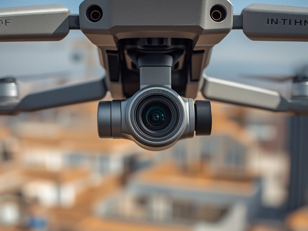
- Camera Quality: High-resolution cameras with large sensors and adjustable apertures are crucial for capturing detailed images and videos. Look for drones with at least 12 megapixels and the ability to shoot in RAW format for maximum editing flexibility.
- Flight Time and Range: Longer flight times and extended range allow you to cover larger areas without frequent battery changes. Aim for drones with at least 25 minutes of flight time and a range of 4 kilometers or more.
- GPS and Obstacle Avoidance: Precise GPS positioning ensures accurate mapping, while obstacle avoidance sensors help prevent crashes and ensure safe flights, especially in complex environments.
- Software Integration: Look for drones compatible with popular mapping software like Pix4D or DroneDeploy, which streamline data processing and analysis.
- Portability and Durability: Consider the size and weight of the drone, especially if you’ll be transporting it to remote locations. Robust construction is essential for withstanding wind, dust, and occasional bumps.
Top Contenders: Drones That Rule the Skies
Now, let’s meet some of the top drones dominating the surveying scene in the US:
DJI Phantom 4 RTK: The Industry Standard
A stalwart in the surveying world, the Phantom 4 RTK boasts a 1-inch sensor camera capable of capturing stunning 20-megapixel images. Its RTK (Real-Time Kinematic) positioning system delivers centimeter-level accuracy, making it ideal for precise mapping applications. The Phantom 4 RTK’s 30-minute flight time and 7-kilometer range allow you to cover substantial ground in a single flight.
WingtraOne: The Fixed-Wing Wonder
This unique fixed-wing drone combines the efficiency of a plane with the vertical takeoff and landing capabilities of a multicopter. The WingtraOne excels at covering vast areas quickly, making it perfect for large-scale mapping projects. Its high-resolution camera and advanced flight planning software ensure accurate and detailed data collection.
SenseFly eBee X: The Lightweight Champion
Weighing in at just under 2 kilograms, the eBee X is a lightweight and portable drone designed for ease of use. Its 24-megapixel camera captures high-quality images, while its intuitive software simplifies mission planning and data processing. The eBee X is a great choice for professionals who need a reliable and portable surveying solution.
Autel Evo II Dual: Versatility Meets Value
Offering excellent value for money, the Autel Evo II Dual features a dual-camera system, combining a 48-megapixel RGB camera with a thermal imaging camera. This versatility makes it ideal for applications like inspecting infrastructure, monitoring crop health, and conducting search and rescue operations.
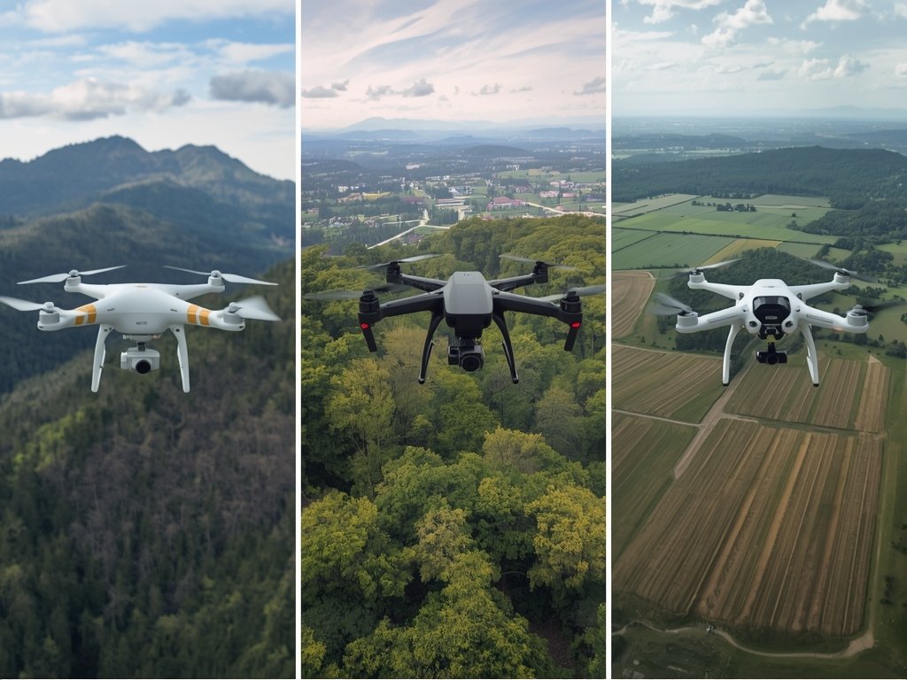
Mapping America’s Landscapes: Real-World Applications
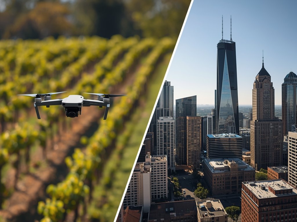
Drones are transforming the way we interact with land across the United States. Here are just a few examples of their real-world applications:
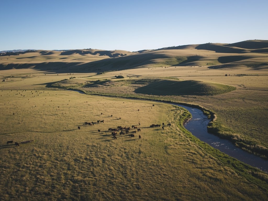
- Agriculture: Farmers use drones to monitor crop health, identify pest infestations, and optimize irrigation, leading to increased yields and reduced environmental impact.
- Construction: Drones provide detailed site surveys, track progress, and inspect hard-to-reach areas, improving safety and efficiency on construction sites.
- Environmental Monitoring: Conservationists use drones to track wildlife populations, monitor habitat changes, and assess the impact of natural disasters.
- Real Estate: Drones capture stunning aerial footage and create 3D models of properties, enhancing marketing efforts and providing valuable insights for buyers.
- Infrastructure Inspection: Drones inspect bridges, power lines, and other critical infrastructure, identifying potential issues before they become major problems.
Taking Flight: Legal and Safety Considerations
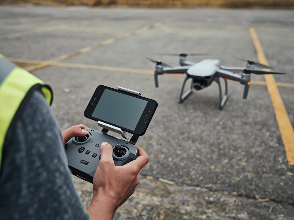
Before you take to the skies, remember to follow FAA regulations for drone operation in the US. Obtain the necessary certifications, register your drone, and always fly responsibly, respecting privacy and avoiding restricted airspace.
Prioritize safety by conducting pre-flight checks, maintaining visual line of sight, and being aware of your surroundings. Remember, responsible drone piloting ensures a safe and enjoyable experience for everyone.
FAQ: Answering Your Burning Questions
What is the best drone for beginners in land surveying?
For beginners, the DJI Mavic Air 2 offers a great balance of features, ease of use, and affordability. Its compact size, intuitive controls, and high-quality camera make it a solid choice for learning the ropes of drone surveying.
Do I need a license to fly a drone for surveying?
Yes, if you’re using a drone for commercial purposes, including surveying, you’ll need to obtain a Part 107 Remote Pilot Certificate from the FAA.
What software is best for processing drone mapping data?
Popular software options include Pix4D, DroneDeploy, and Agisoft Metashape. The best choice depends on your specific needs and budget.
How much does a professional surveying drone cost?
Prices vary widely depending on features and capabilities. Entry-level drones suitable for basic surveying can start around $500, while high-end models with advanced features can cost several thousand dollars.
Where can I find training for drone surveying?
Many online courses and in-person workshops offer training in drone surveying techniques and software. Check with organizations like the Drone U or the American Society for Photogrammetry and Remote Sensing (ASPRS) for reputable training programs.
Join Our Pilot Community
Connect with fellow drone enthusiasts, share your aerial shots, and get access to free PDF ebook guides.